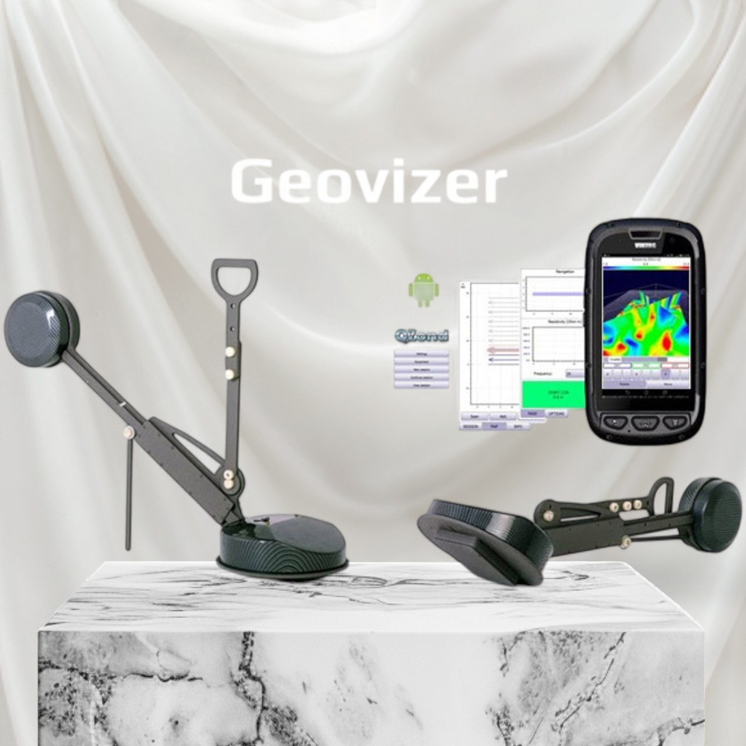

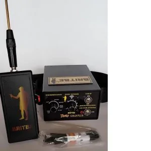
Geovizer – Compact multifunctional electromagnetic profiler (EM-I)
The Geovizer is a compact multifunctional electromagnetic profiler (EM-I), designed for fast, accurate, contactless subsurface detection. Based on the multi-frequency electromagnetic induction method, this geophysical equipment analyzes the apparent resistivity of soils and locates anomalies down to 3 meters depth.
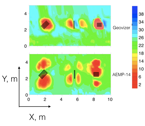
Thanks to its high performance, the Geovizer provides detailed spatial mapping of the soil’s secondary signal, facilitating the identification of high electromagnetic contrast targets such as:
metallic objects and structures,
underground cavities and voids,
areas saturated with highly mineralized water,
pipelines, tunnels and bunkers with wet walls.
It is particularly effective for detecting high conductivity objects in low soil conductivity environments, making it a reference tool for engineering, environmental and security applications.
Technology and key features
The Geovizer tri-frequency EM-I profiler operates on three selectable fixed frequencies in the 12.5 to 111 kHz range, enabling optimal adaptation to field conditions and survey objectives.
Each measurement point is automatically georeferenced through GPS coordinate integration.
✔ Real-time visualization of data on Android smartphone
✔ Fast and reliable Bluetooth connection
✔ Professional QZond / iiSystem software for:
apparent resistivity calculation,
signal phase analysis,
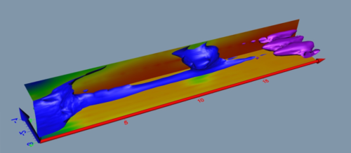
generation of quasi-3D subsurface representations
Technical advantages
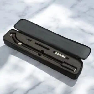
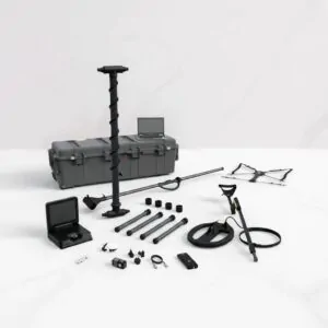
Lightweight and compact equipment (750 × 650 × 340 mm – 4.5 kg)
Mobility and quick handling in the field
Integrated pneumatic calibration
High spatial resolution of measurements
Simplified data collection via Android smartphone
Geovizer application areas
🌱 Agronomy and soils
Soil fertility assessment
Mineral fertilizer concentration analysis
Seasonal soil condition monitoring
Detection of fracture and irrigation zones
🚧 Utilities and infrastructure
Location of underground utilities
Detection of water leaks in pipelines
Road infrastructure monitoring
Buried utilities inspection
🏗️ Geology & engineering
Geological and hydrogeological surveys
Environmental engineering studies
Pre-construction soil investigations
🏺 Archaeology
Location of buried archaeological sites
Non-destructive study of ancient structures
Monitoring of buried historical monuments
🌍 Environment & ecology
Environmental monitoring
Soil contamination assessment (hydrocarbons, lubricants)
Detection of industrial waste sites
Environmental risk management
Monitoring of soil and groundwater remediation
🔎 Security & investigations
Search for tunnels, criminal hideouts and clandestine passages
Detection of illegal pipeline connections
Location of petroleum product leaks and assessment of their extent
Reviews
There are no reviews yet.